
videos
The first journey / Northern Thailand
Two friends. Two motorcycles. Northern Thailand.
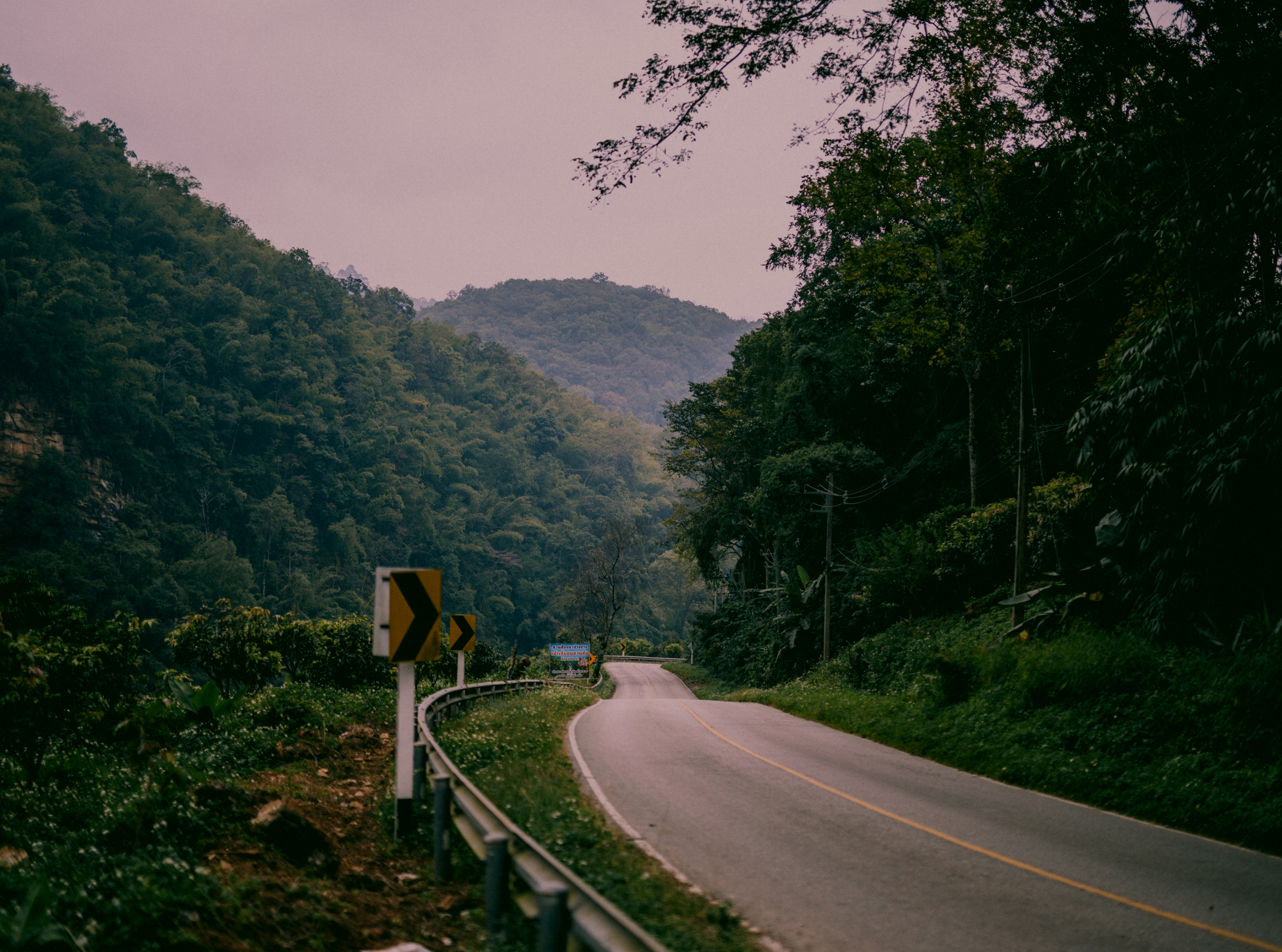
We left Chiang Mai with cameras packed and a loose plan: ride the mountain roads of Northern Thailand and make the first Long Way Hungry film. Ten days and roughly 2,000 kilometres later, we had a story.
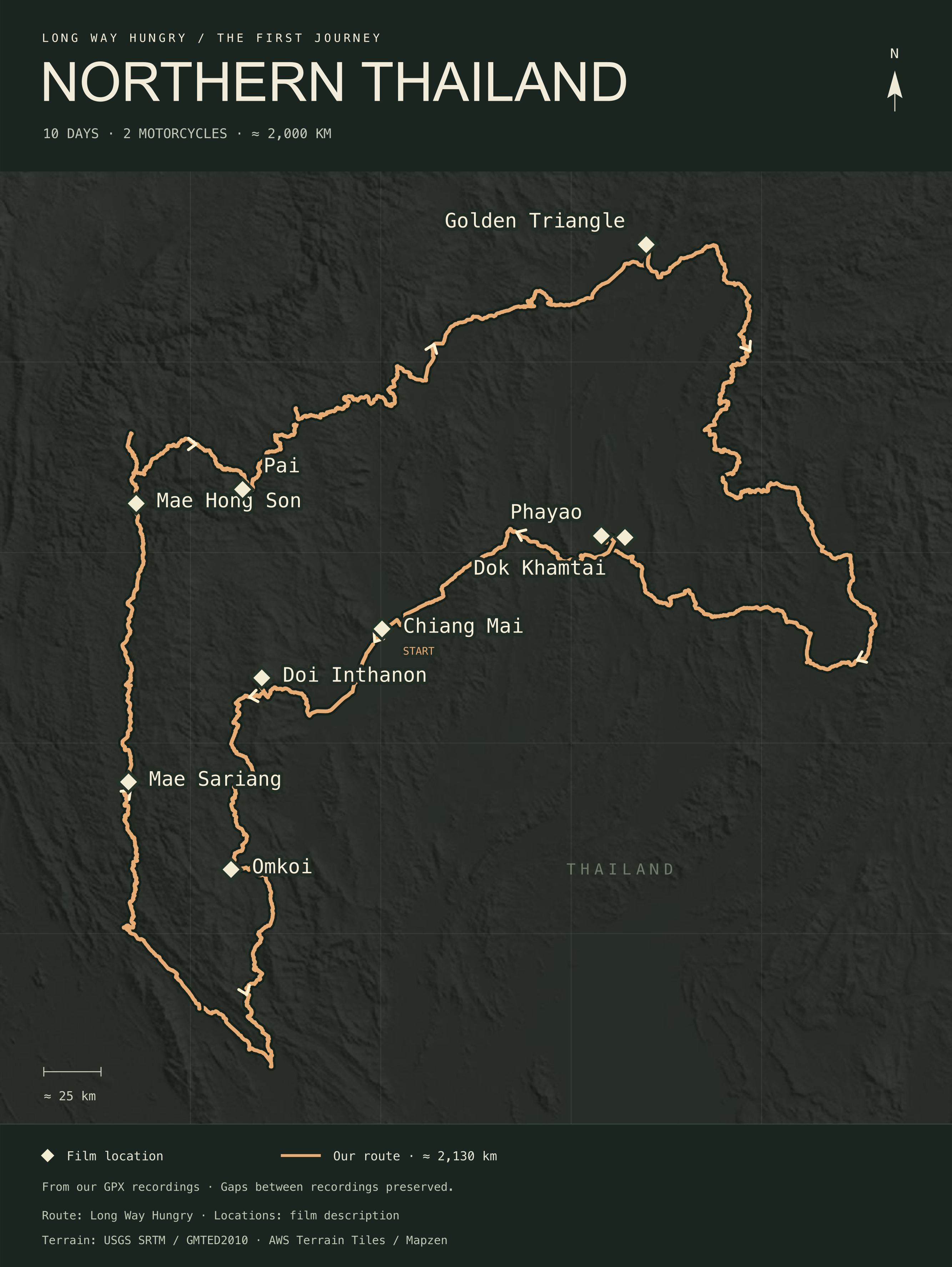
The road took us through mountain villages, food stops and a fair few wrong turns. From Doi Inthanon and Omkoi, we rode north through Mae Sariang, Mae Hong Son and Pai, then on to the Golden Triangle, Phayao and Dok Khamtai. Some days we were looking for the next road. Others, the next meal.
- days on the road
- 10
- motorcycles
- 2
- kilometres on the trip
- ≈ 2,000
Trailer
A feature-length film needs a trailer.
Once the film ran past the hour mark, a trailer stopped being optional. Ninety seconds of two friends, two motorcycles and the winding mountain roads of northern Thailand. If it pulls you in, the whole journey is waiting just below.
Trailer · 1 min 33 s
Full film
2,000 km by Motorcycle in Northern Thailand – 10 Days on the Road
Ten days, two motorcycles and roughly 2,000 kilometres across Northern Thailand. Mountain roads, food stops, rain and the moments no route plan could have predicted.
Northern Thailand · 10 days · 2,000 km · 1 h 12 min
Watch on YouTubeThe journey mapped / Northern Thailand
Mountain roads. A few wrong turns.
Follow our ride through Northern Thailand. Zoom into the roads, tilt the terrain to see the mountains, or explore the elevation profile below.
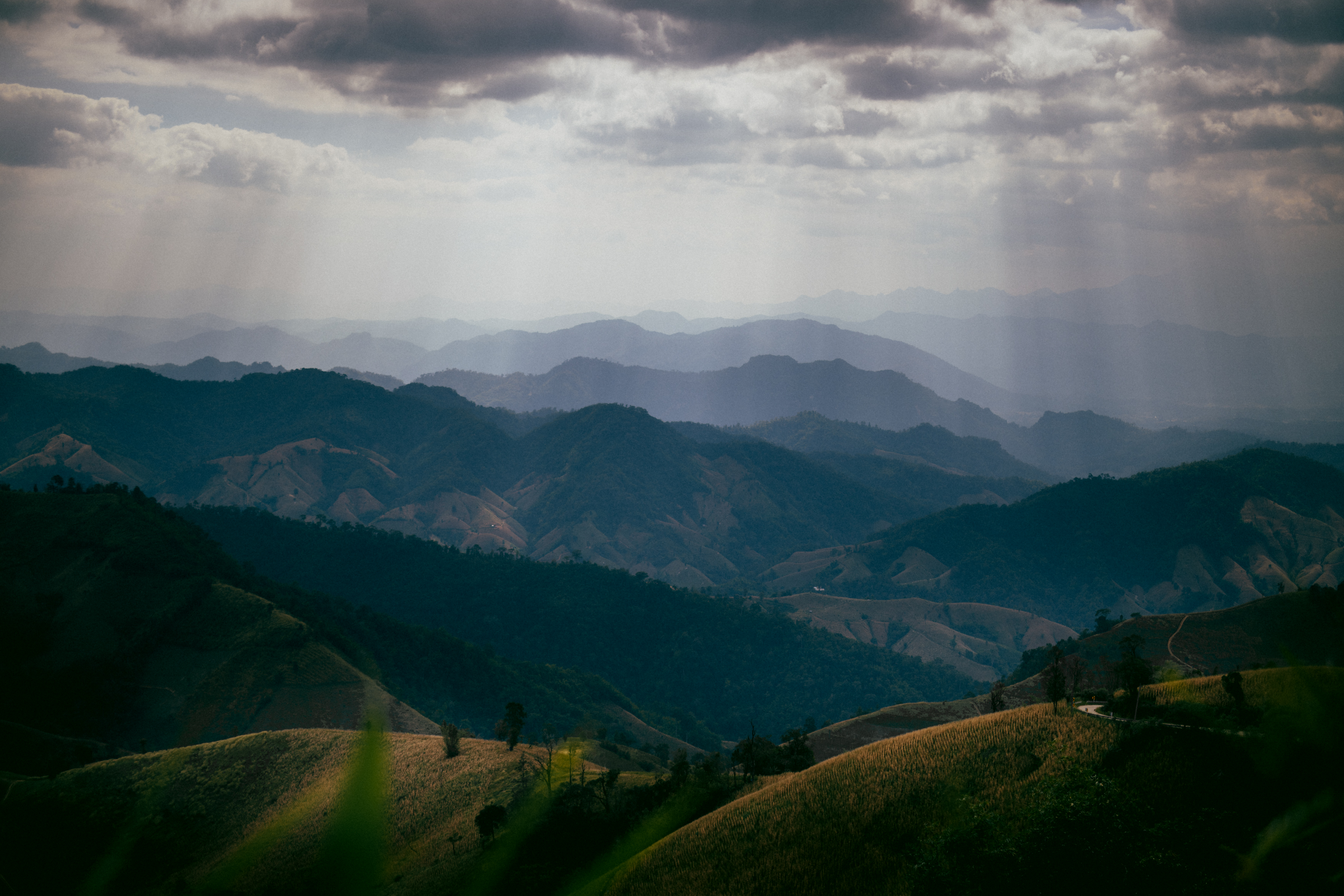
You feel the mountains on the road.
Elevations from the GPX recordings are approximate. The 3D view exaggerates terrain by 1.5×.
From the map to the film.
Locations appear in film order. Select a timestamp to watch that moment.
- Chiang Mai01:26 ↗
- Doi Inthanon05:50 ↗
- Omkoi09:35 ↗
- Mae Sariang15:40 ↗
- Mae Hong Son16:40 ↗
- Pai35:05 ↗
- Golden Triangle44:12 ↗
- Phayao1:03:33 ↗
- Dok Khamtai1:05:50 ↗
Markers show the general locations, not the exact filming spots. Film timestamps are separate from the recorded route.
The ride, recording by recording
Open a stage to highlight it on the map. Dates and distances come from the GPX recordings.
01Leaving Chiang Mai
8 Dec 2025 · approx. 9 km
The first recording begins in Chiang Mai.
02Via Doi Inthanon to Omkoi
8 Dec 2025 · approx. 236 km
The ride climbs towards Doi Inthanon before continuing south to Omkoi.
03South from Omkoi
9 Dec 2025 · approx. 220 km
From Omkoi, the route heads south before turning west.
04Via Mae Sariang to Mae Hong Son
10 Dec 2025 · approx. 327 km
This recording follows the ride north through Mae Sariang to Mae Hong Son.
05From Mae Hong Son through Pai
11 Dec 2025 · approx. 238 km
From Mae Hong Son, we head east through Pai and continue north.
06Towards the Golden Triangle
12 Dec 2025 · approx. 291 km
The journey continues towards the Golden Triangle area.
07South from the Golden Triangle
13 Dec 2025 · approx. 249 km
We leave the Golden Triangle and head south.
08Towards Phayao
14 Dec 2025 · approx. 383 km
The route makes a long detour east before reaching Phayao.
09Back to Chiang Mai
15 Dec 2025 · approx. 176 km
The final recording takes us from Phayao, via the Dok Khamtai area, back to Chiang Mai.
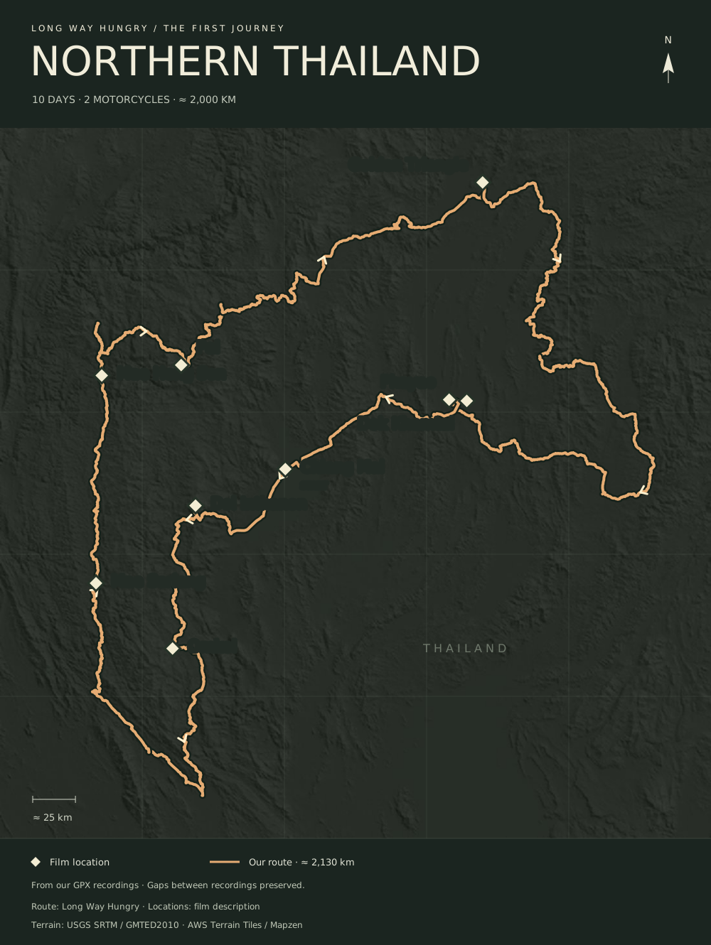
This map follows our recorded ride: approximately 2,130 km. Gaps between recordings remain visible rather than being filled in.
Take the route with you
GPX for your map app · PNG as an image · SVG for printing. All three follow the recorded journey.
Who is behind the handlebars?
Risto and Matti. Visit the about page to meet the two people behind Long Way Hungry and find out how this journey began.